

Inventur von Schüttgut
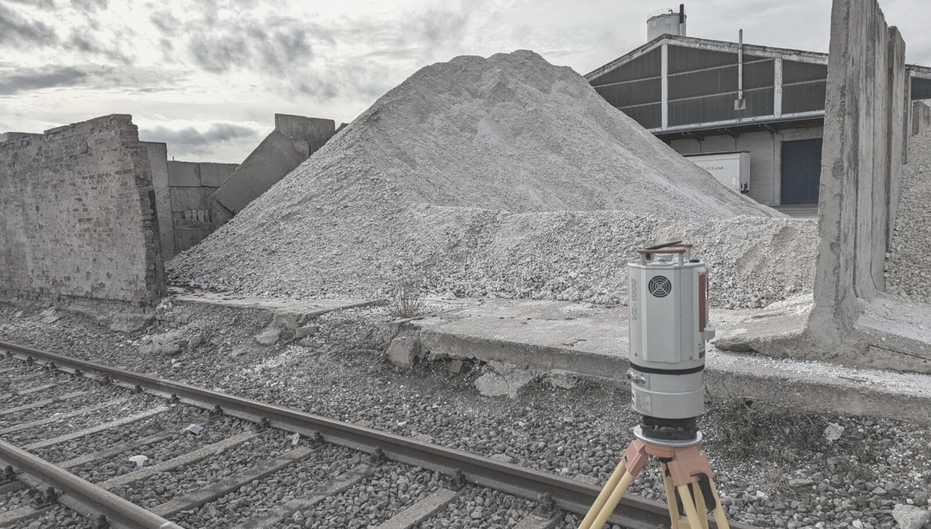
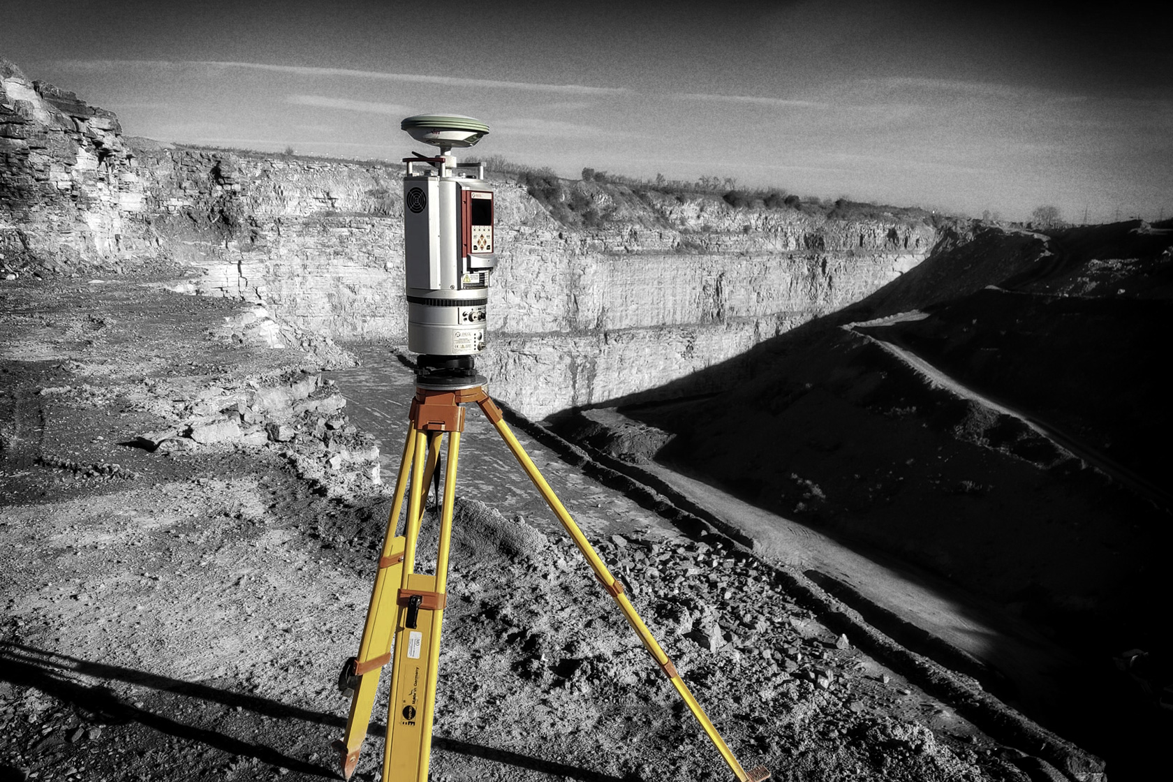
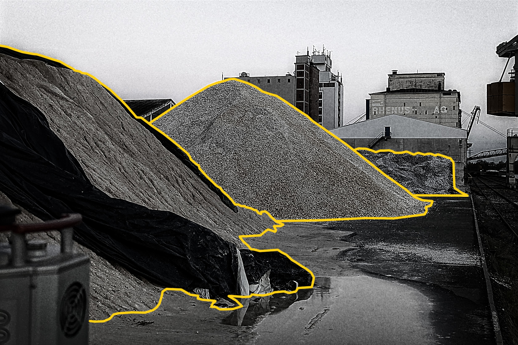
Mit der Schüttgutinventur bieten wir eine deutschlandweite Dienstleistung zur exakten Bestimmung des Volumens Ihrer Schüttguthalden an. Ihre Halden werden mit unserem professionellem Riegl Laserscanner in 3D aufgenommen und im Nachgang mit Spezialsoftware ausgewertet. Dabei kann es sich um jede Art von Schüttgut handeln. Übliche Beispiele sind Schotter, Industriemineralien wie Bauxit, Magnesit, oder Baryt aber auch Metallschrotte oder Hackschnitzel.
Unserer Dienstleistung ist von der Wirtschaftsprüfung anerkannt und Sie erhalten ein Haldenvolumen mit einer Genauigkeit von >99%.
Außerhalb von Deutschland wird die Inventurdienstleistung in Österreich, Schweiz, Niederlande, Belgien, Dänemark, Polen und Tschechien angeboten.
Ablauf: Experten der Sachtleben Technology kommen an dem gewünschten Tag zu Ihnen ans Lager und scannen Ihre Halden. Innerhalb von zwei Werktagen erhalten Sie dann einen Ergebnisbericht, die 3D-Daten und ein Messprotokoll.


